Duco van Amstel
Life is a big Do-It-Yourself box with everything in it, except for a manual.
And yes, this photo has been edited on my computer (so the colours are perfectly fine ;-) ).
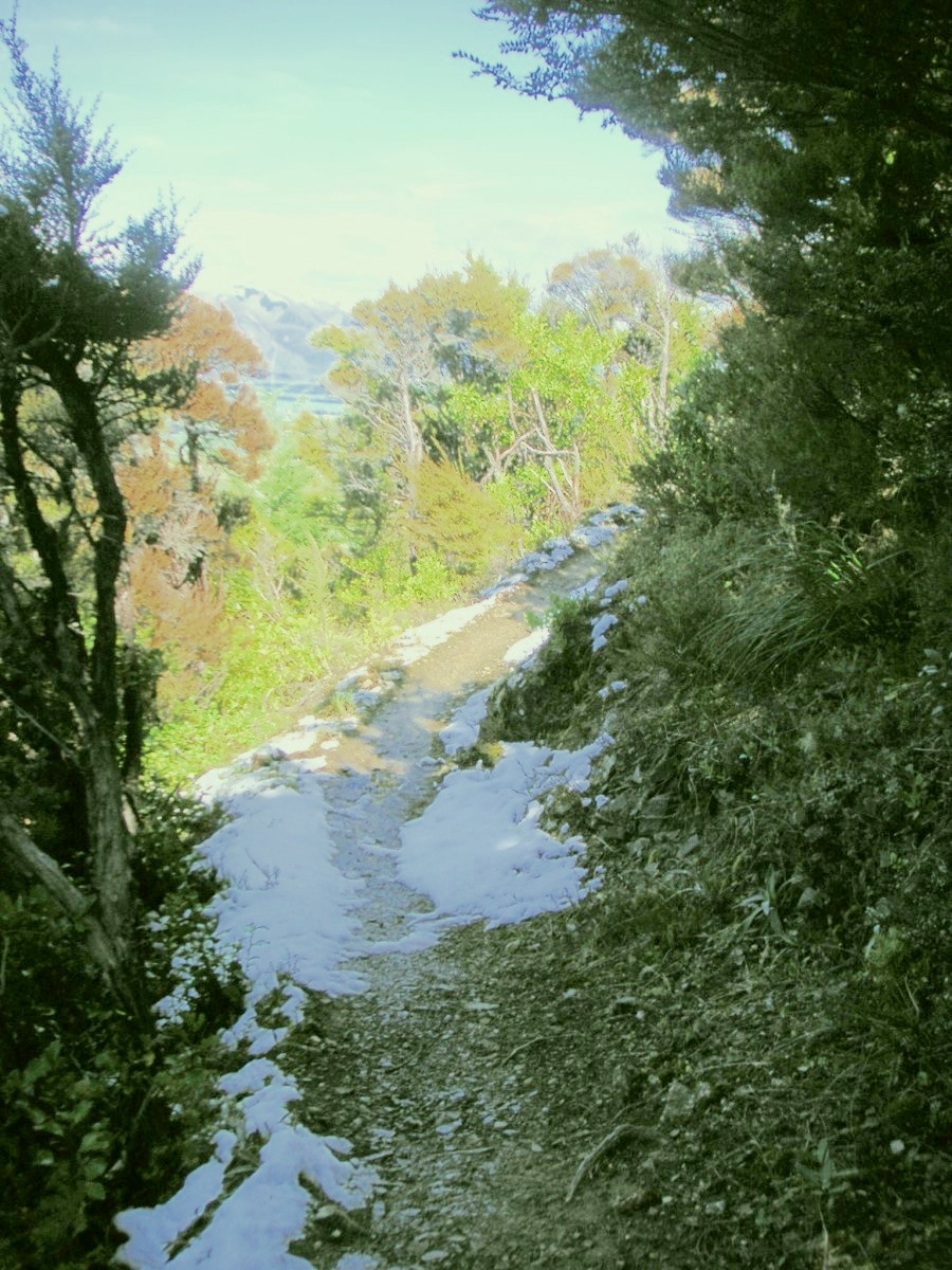
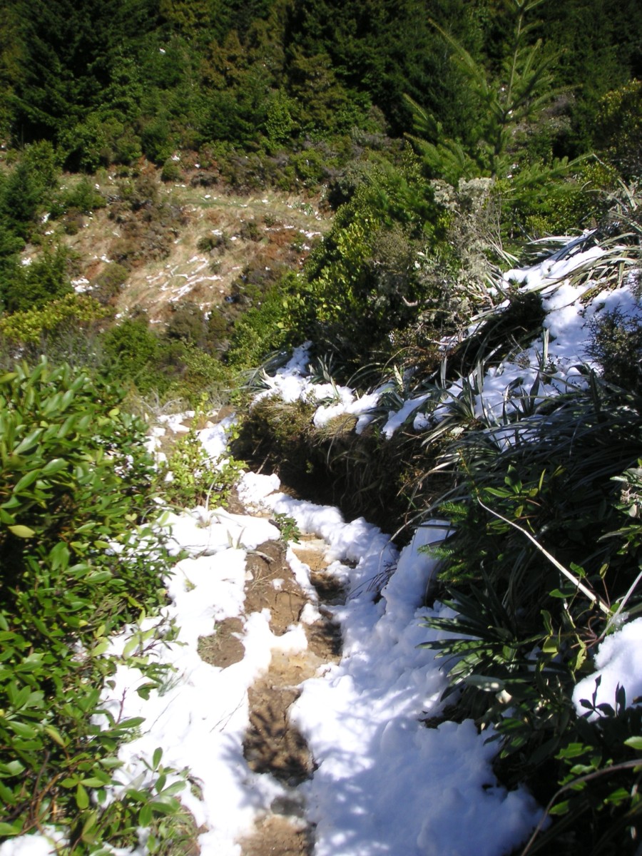
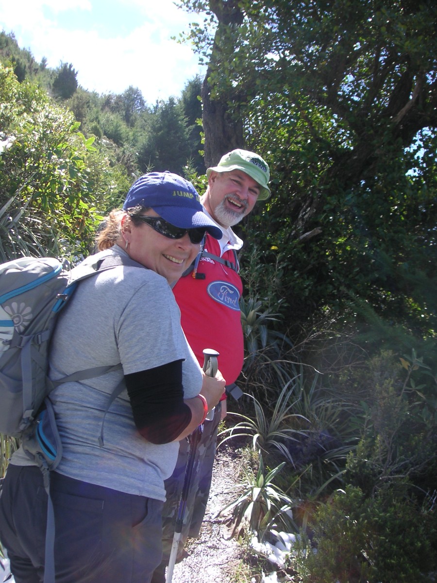
Two people from Chirstchurch that I met on my way up. We shared a small part of the track together.
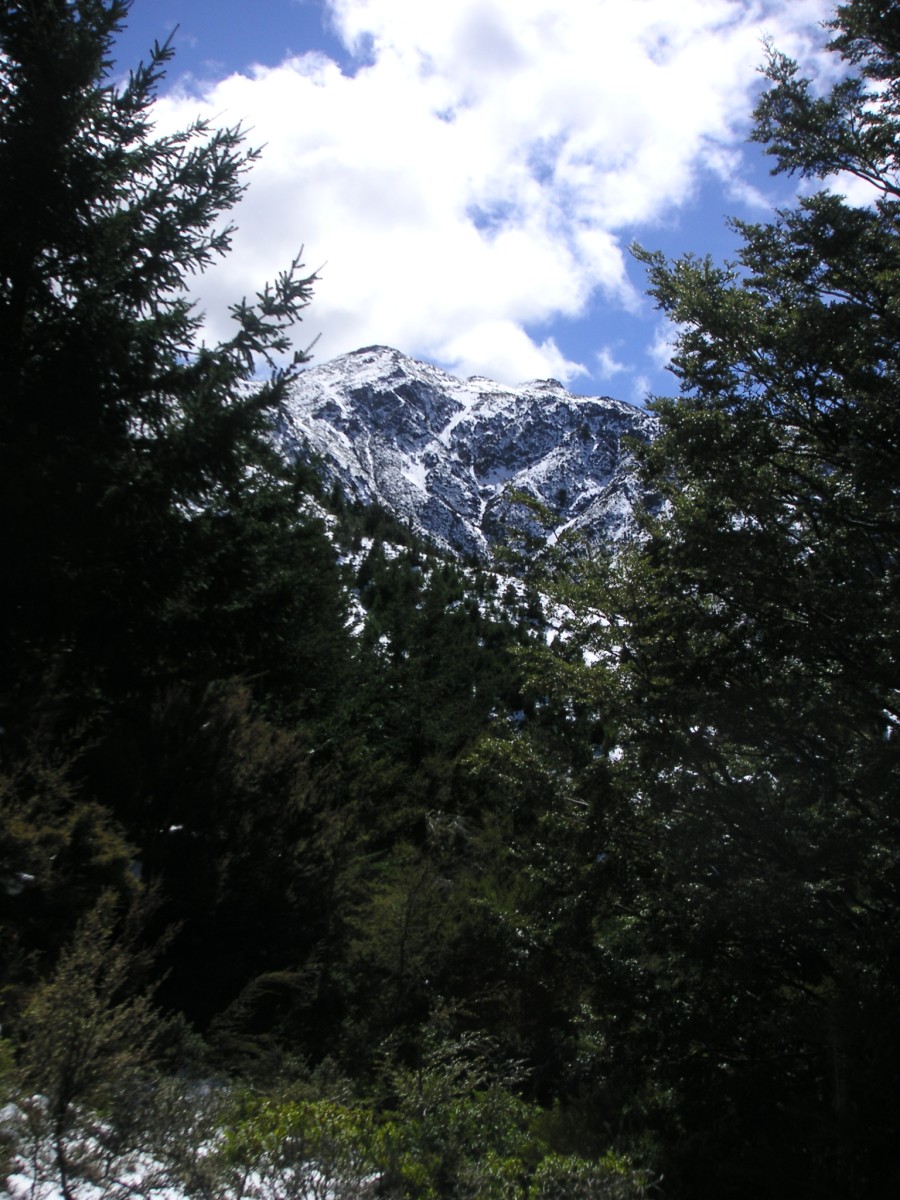
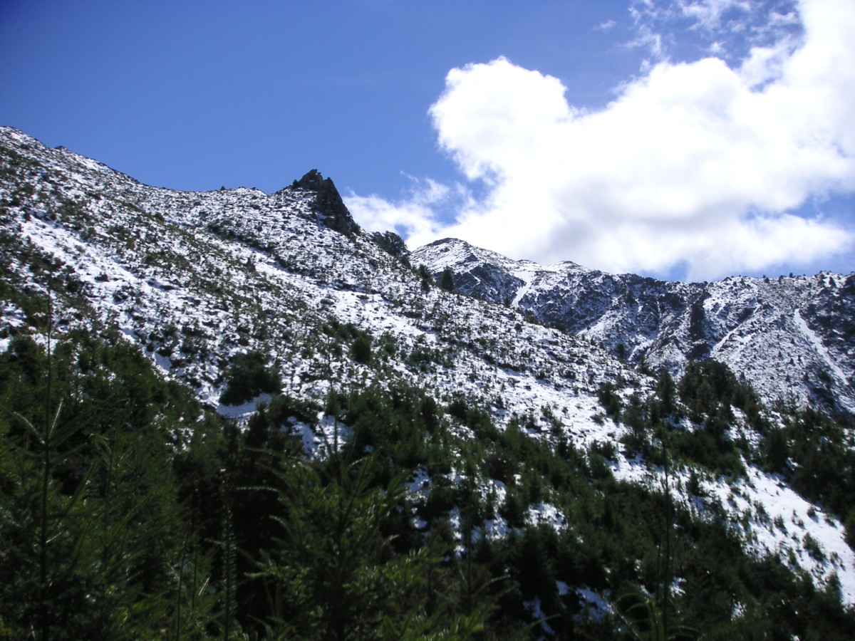
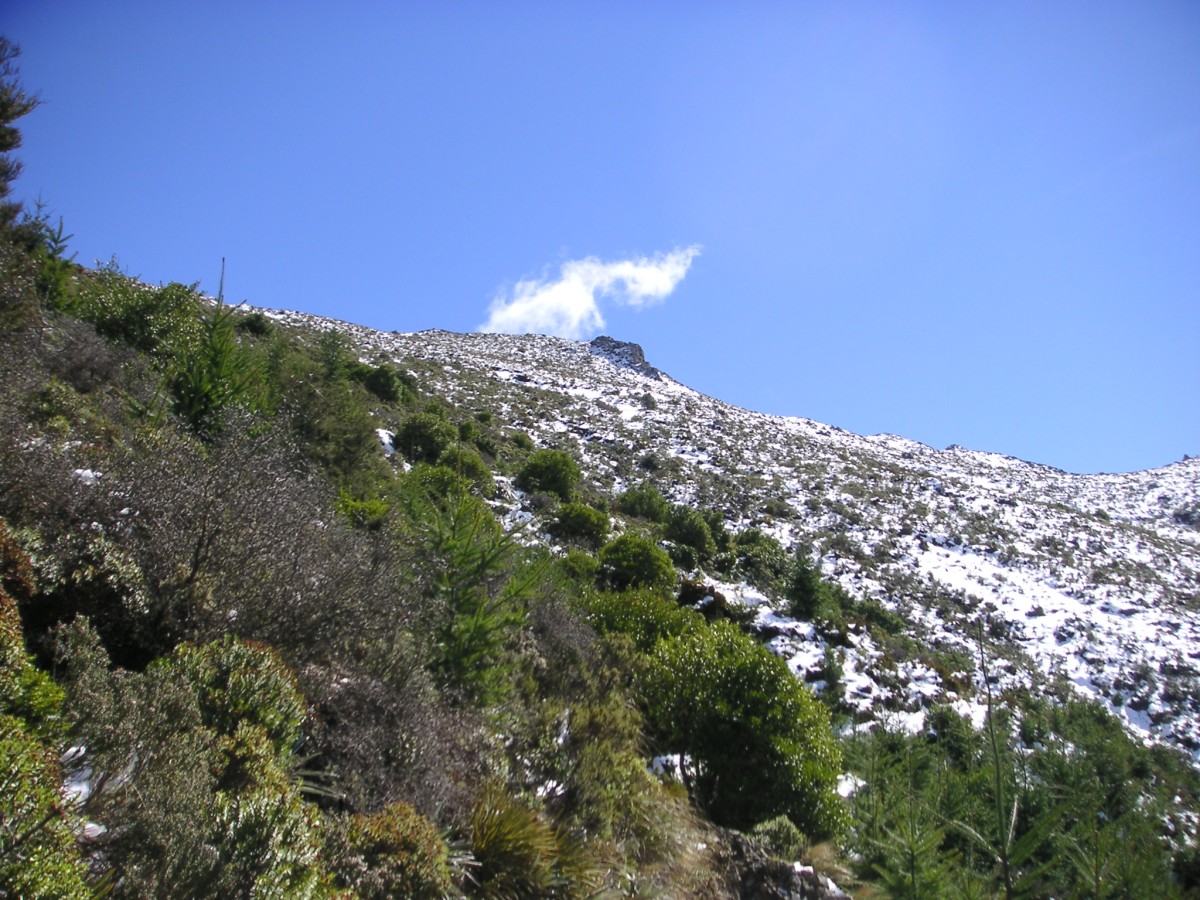
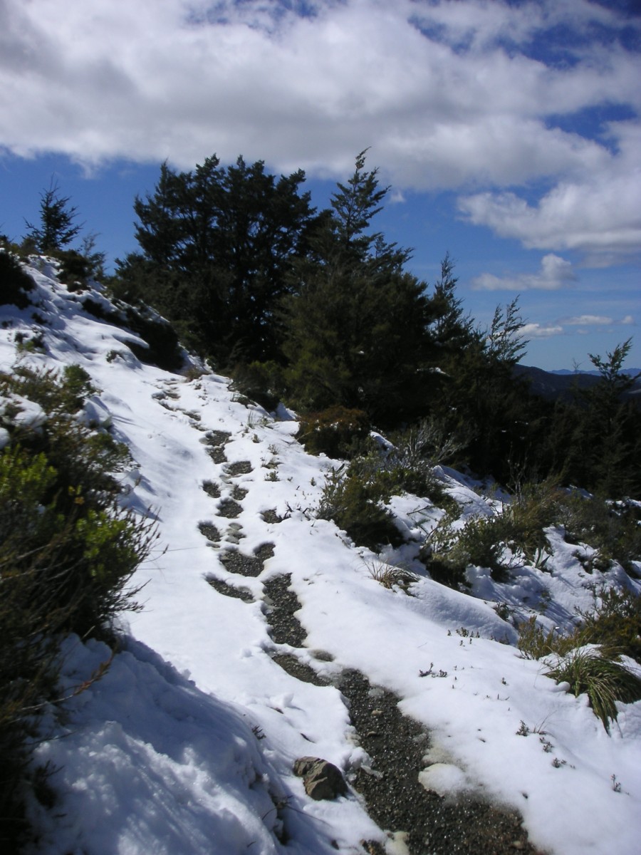
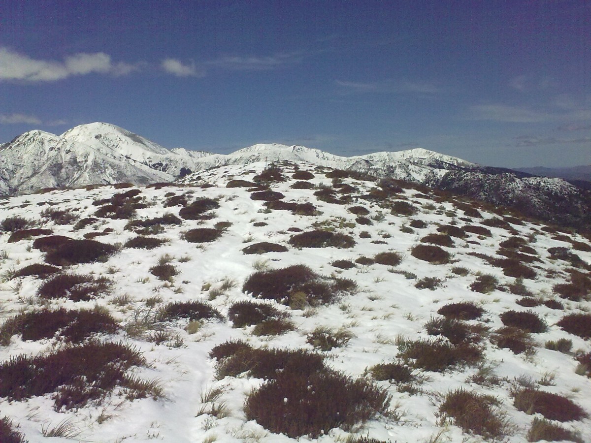
On top of the ridge again. You can compare it with the photos from last time here.
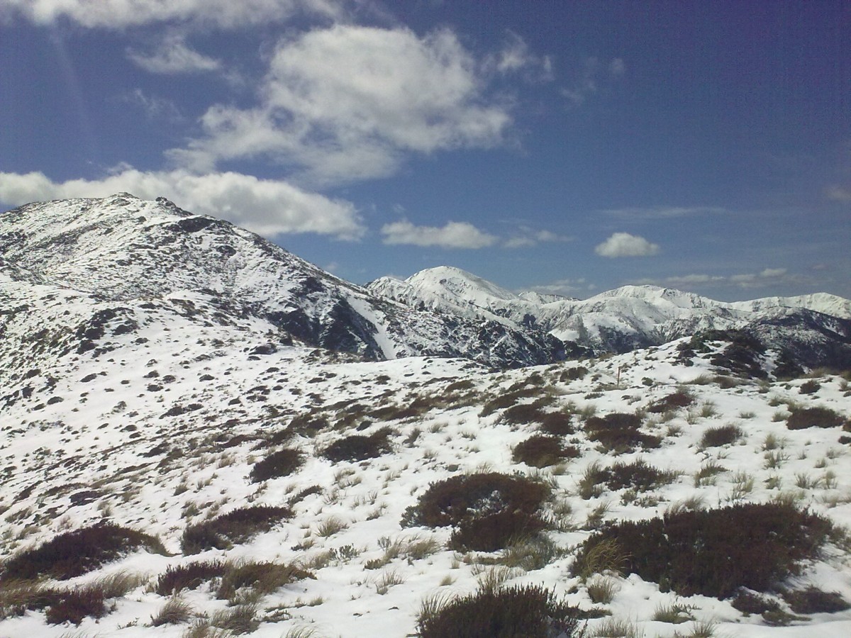
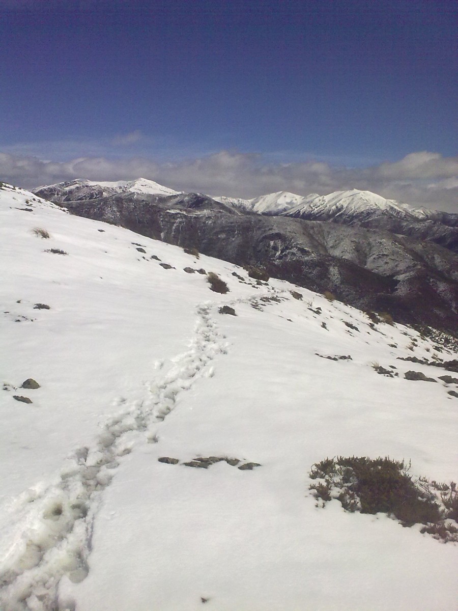
About 10 people had been on the ridge before me since the snow had fallen two nights before.
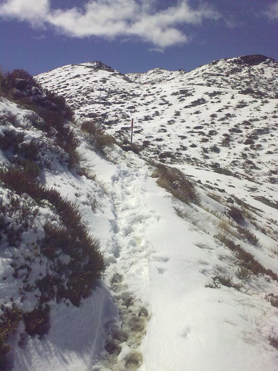
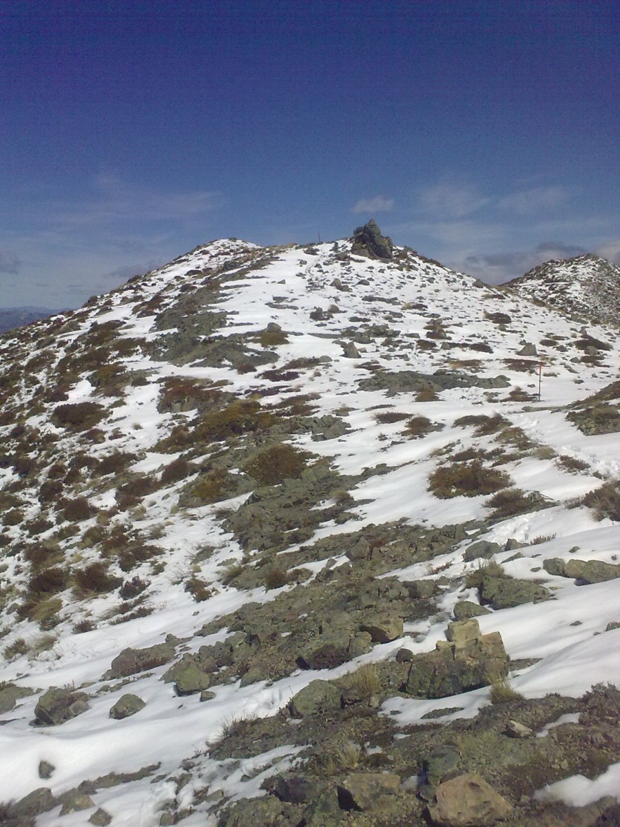
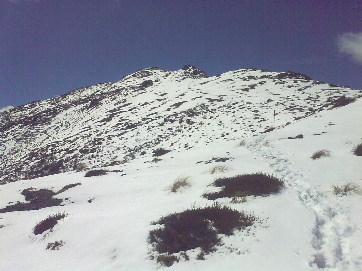
The orange pylons you can see are the usual way in which the remote tracks of New Zealand are marked.
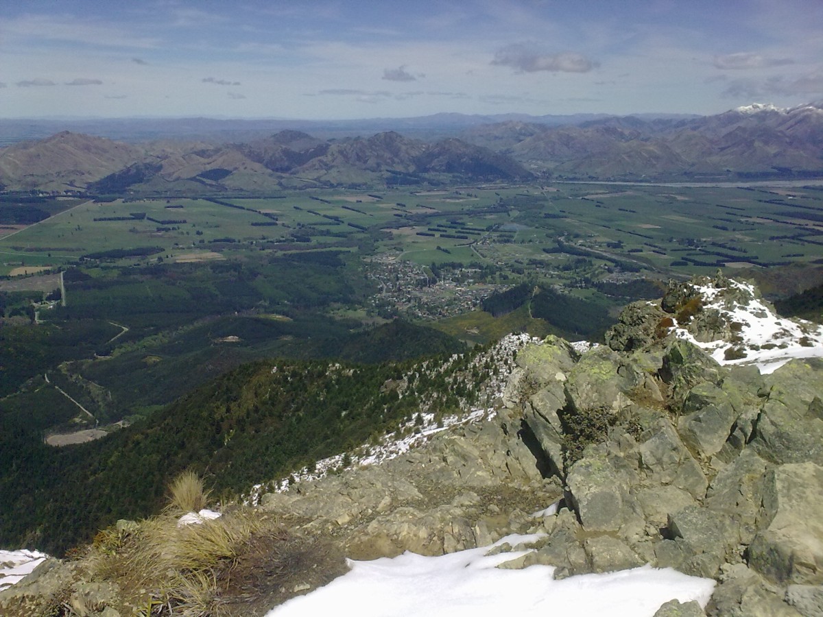
Hanmer Springs 1000 meter below in the bassin.
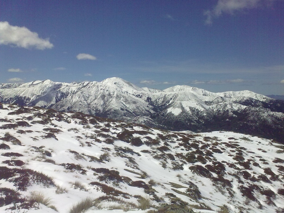
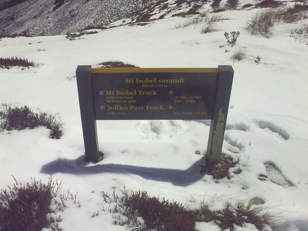
On the summit, now which way down? Left or right?
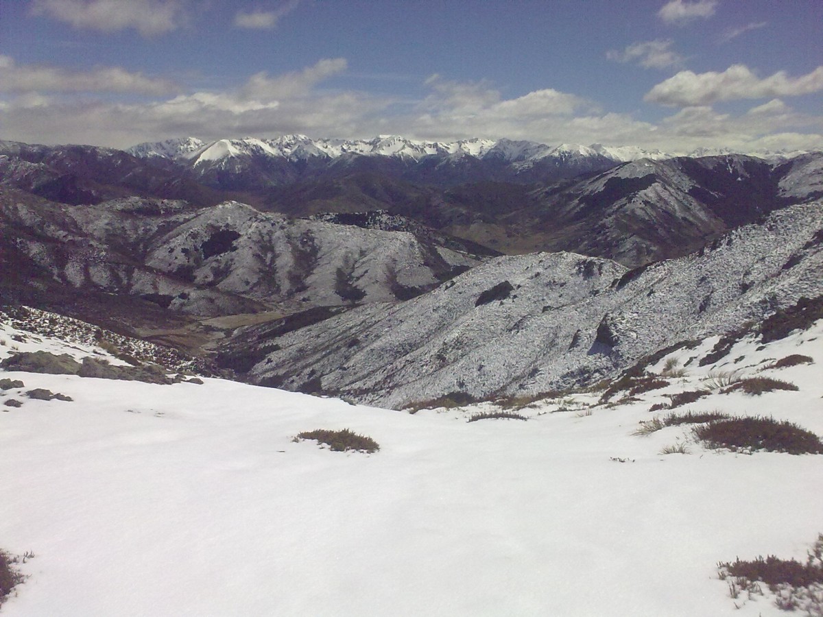
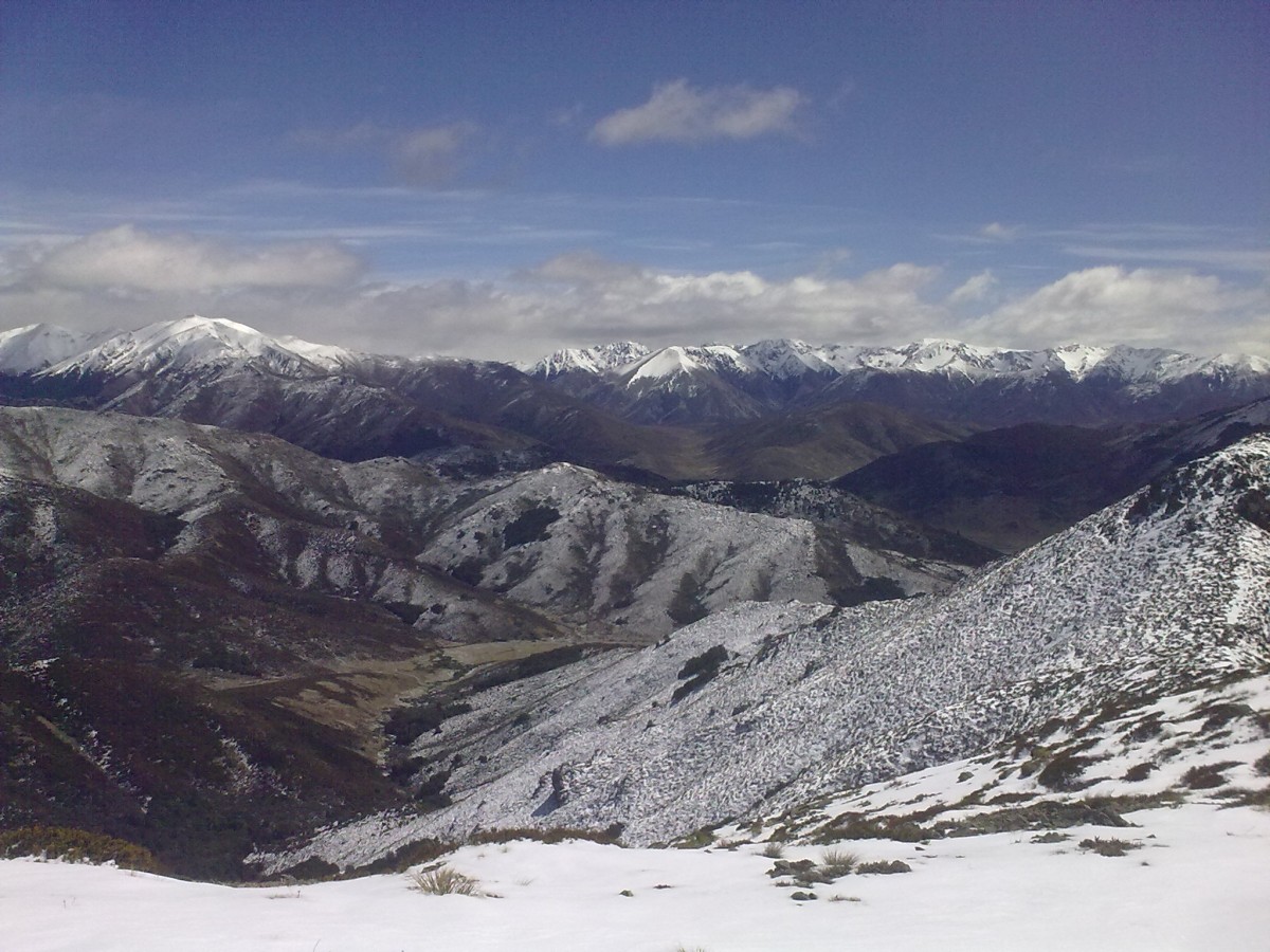
Looking to the north-west. In the upper-middle of the photo you can see a small vertical stretch (1cm on the screen) of lighter ground forming the bottom of a valley. This is Peters Valley through which I walked on my tramp to Scotties Hut.
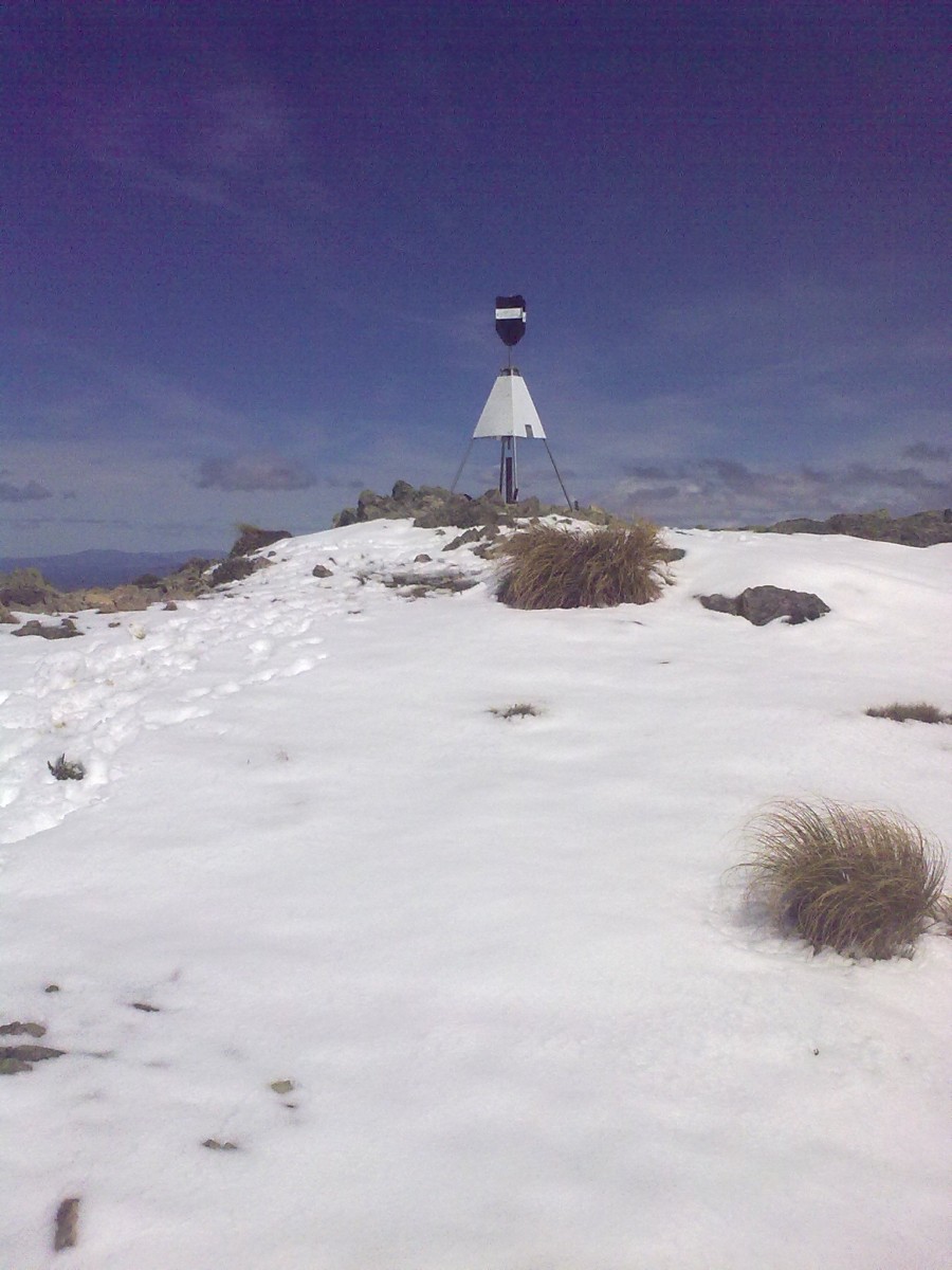
All the previous trampers had gone up and down via the west-side of the mountain. The stubborn me wanted to go down the east-ridge to Jollies Pass... and so I went east following the pylons and no other footsteps in the snow in front of me.
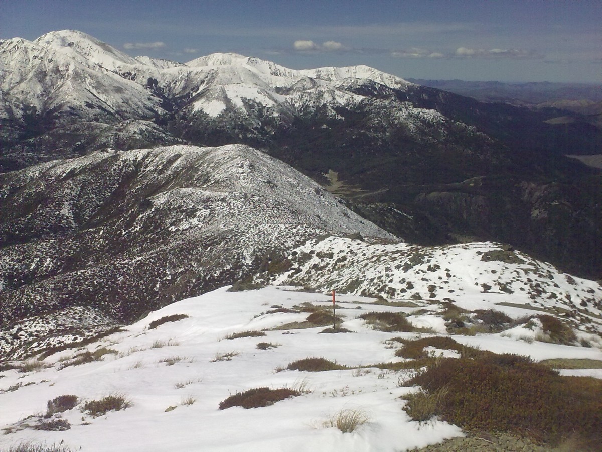
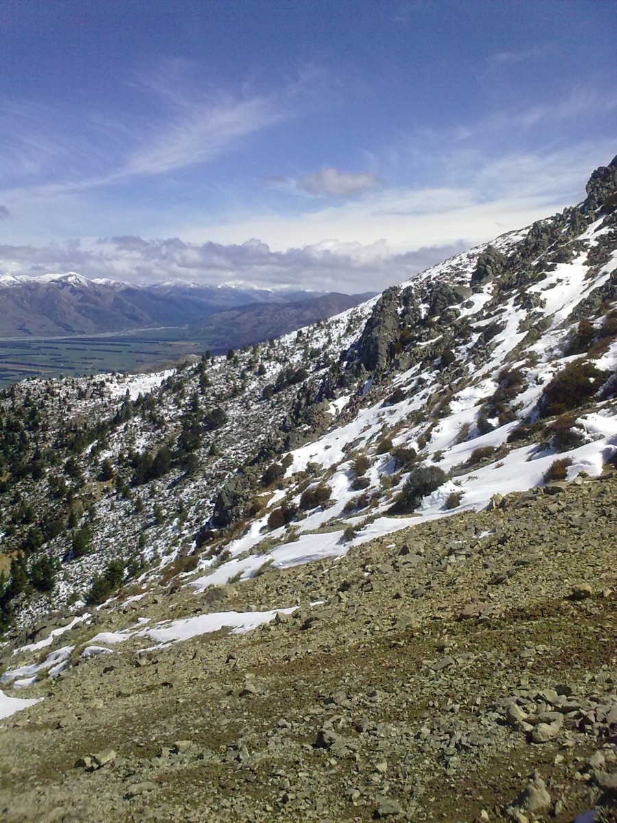
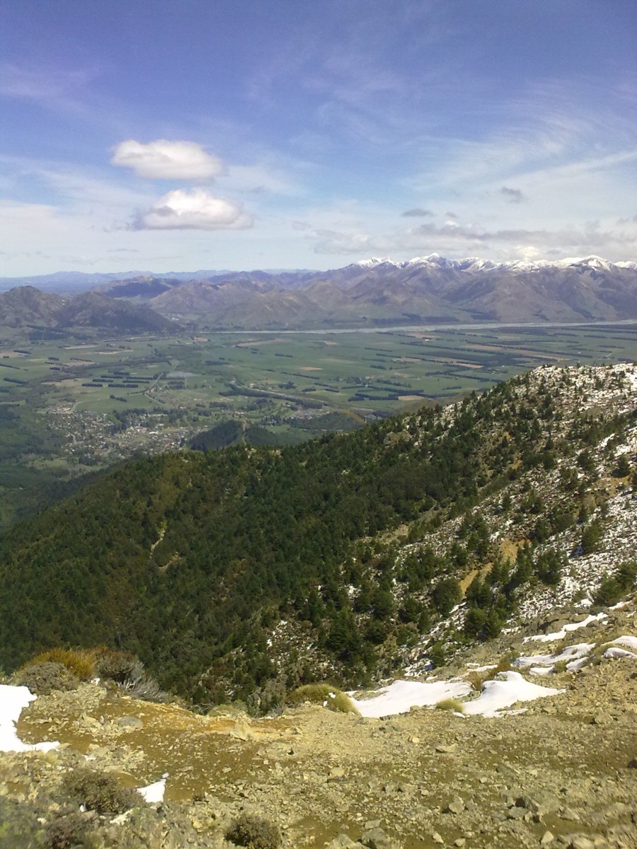
The ridge that I was following.
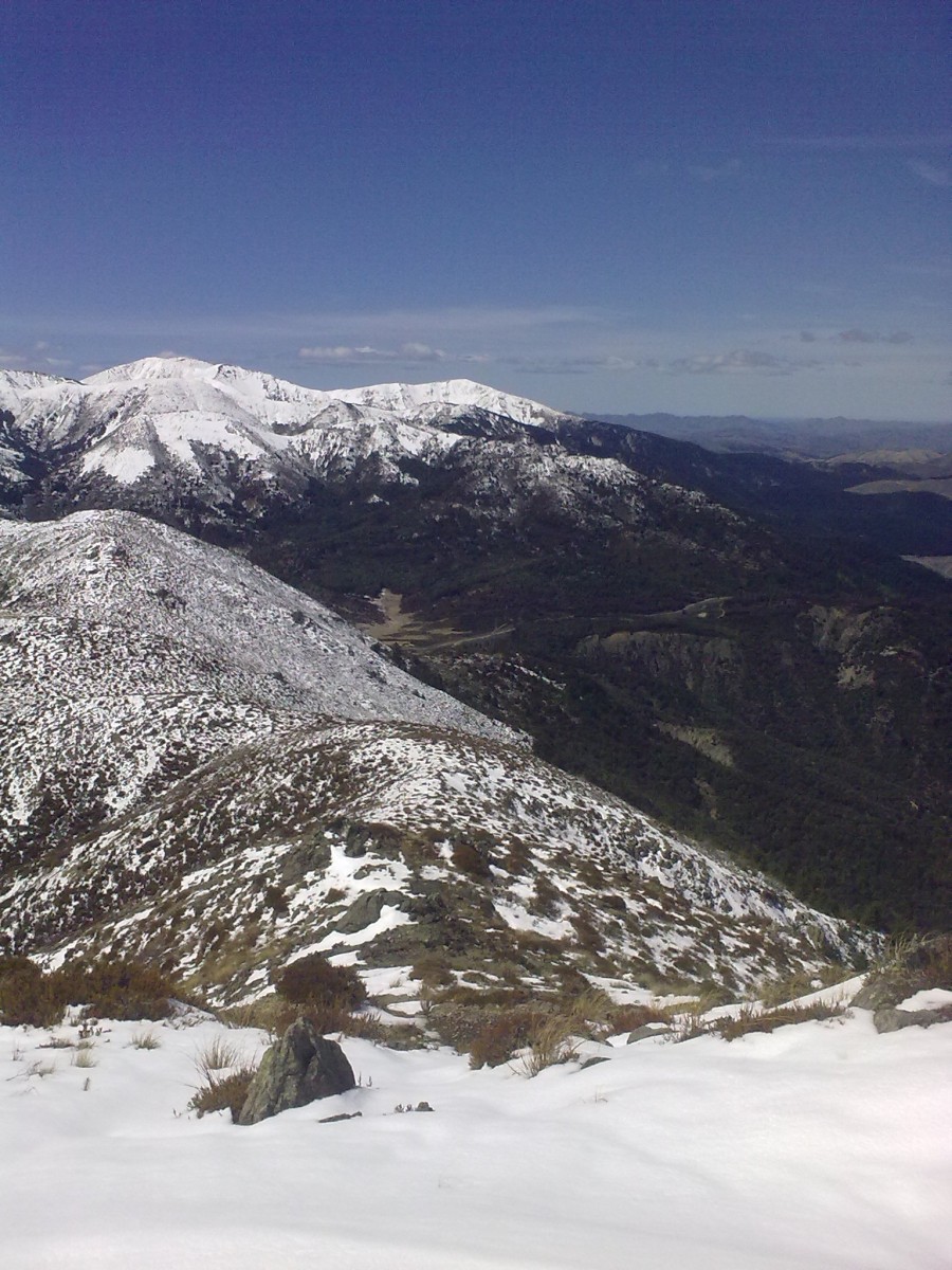
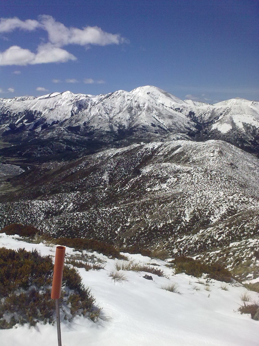
Looking back to the summit.
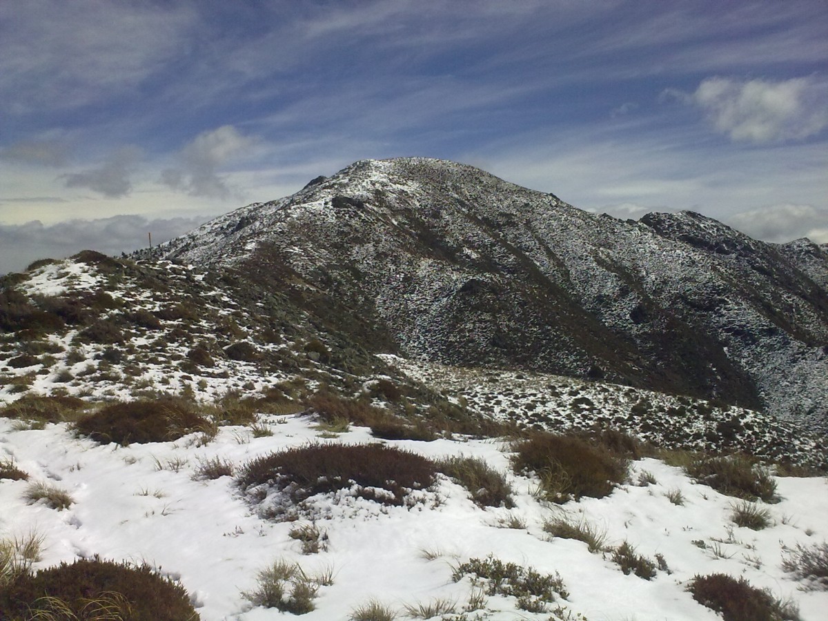
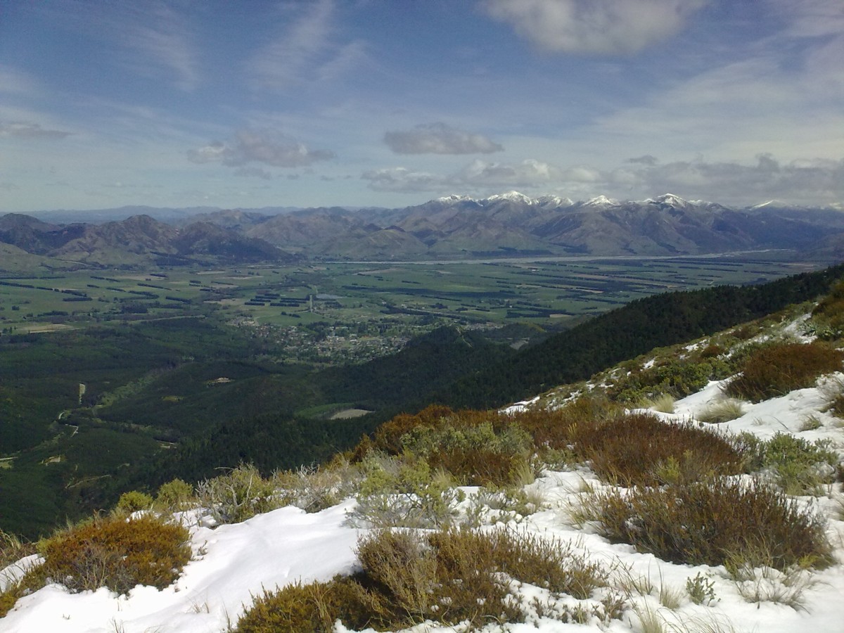
Such a sight and the road ahead almost make me feel like singing.
